Building resilience for nature
Welcome to Akivita, a premier consultancy firm specialising in GIS mapping, analysis, and 3D modelling. Our services ensure precise data collection for informed decision-making.
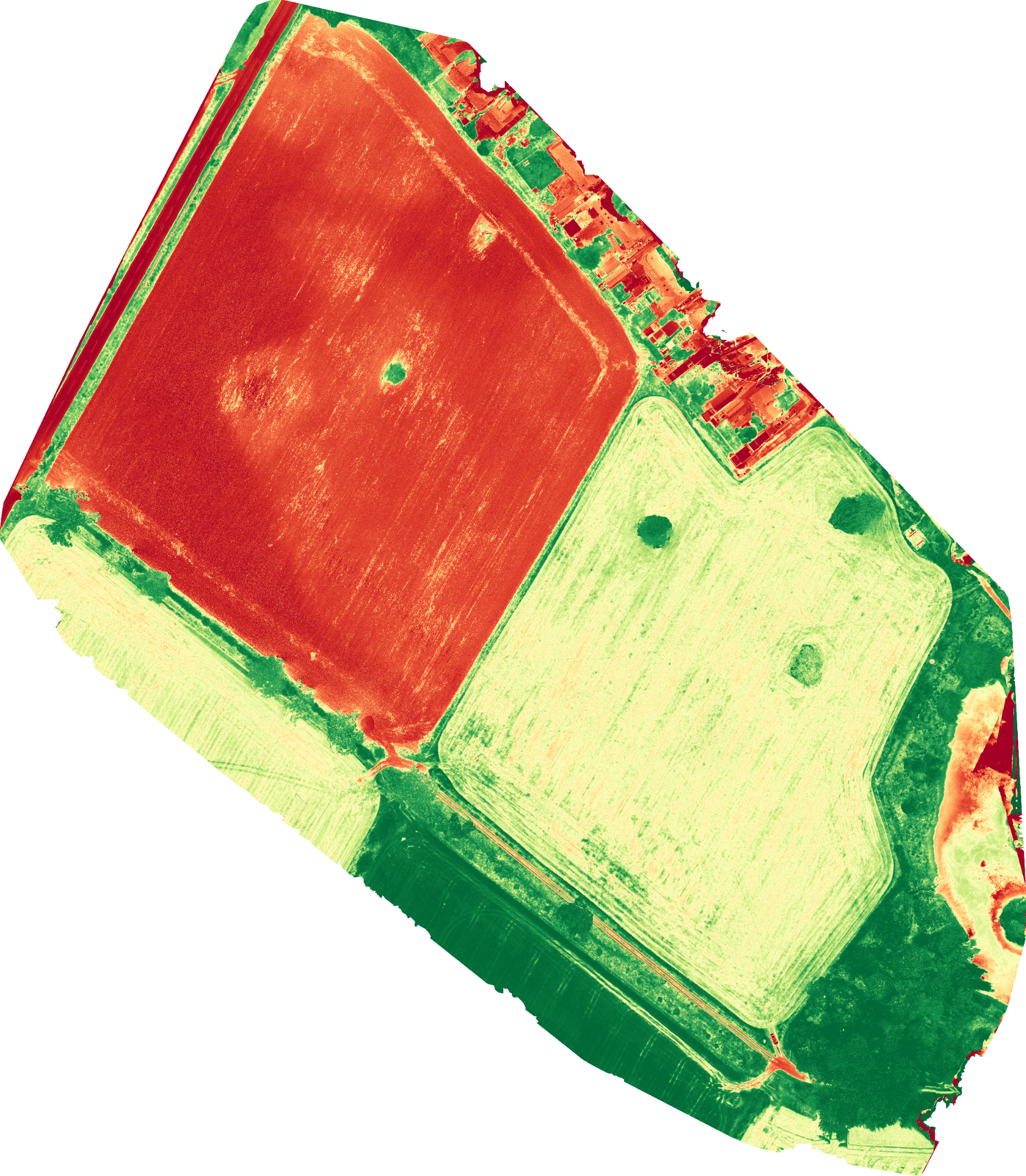
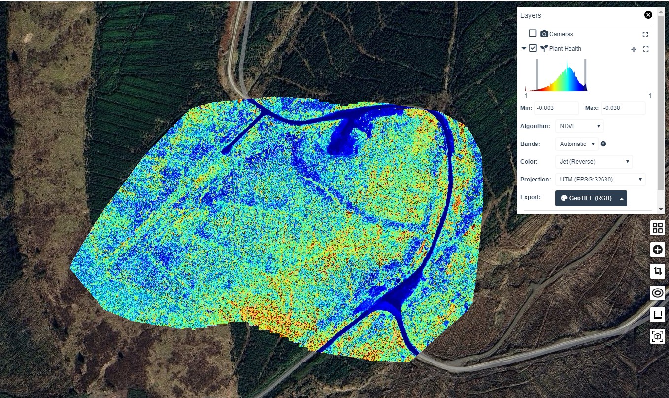
We also offer advanced photogrammetry, multispectral analysis, and thermography.
Environmental and Modelling Solutions
Landscape Photogrammetry, Multispectral Analysis, and Thermography
Our drone-based photogrammetry and thermography services are tailored to meet the specific needs of our clients, ensuring precise data collection and analysis for informed environmental decision-making.
GIS Mapping, and Analysis
Our GIS mapping and analysis, services, are designed to meet the unique needs of our clients, ensuring precise data collection and interpretation for informed decision-making.
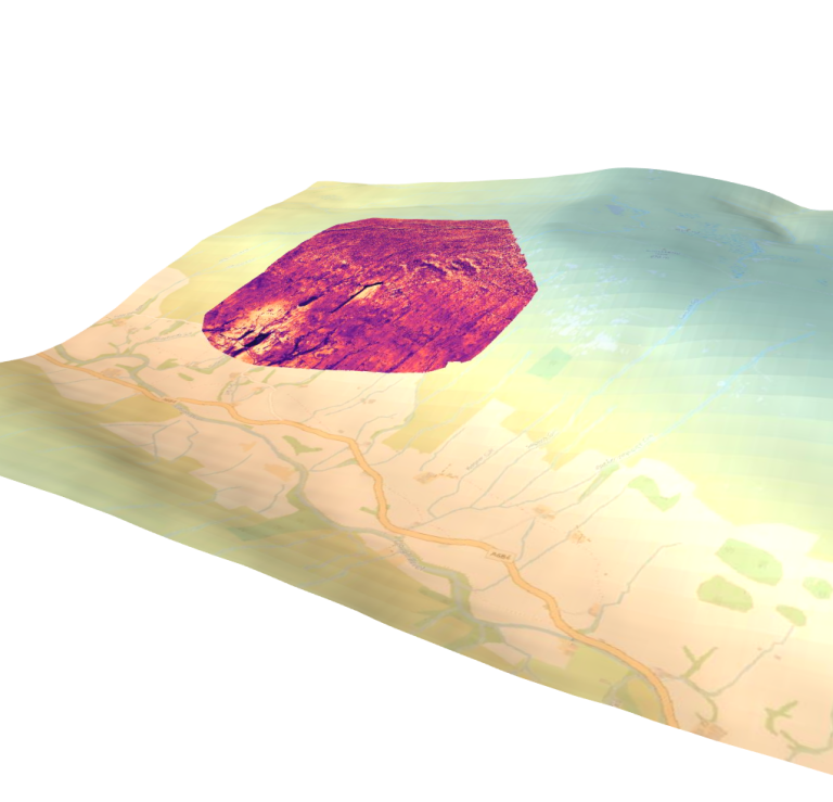
Digital Modelling
We can provide digital twining and 3D modelling of range of real life and simulated landscapes
Innovate UK ADOPT Facilitator
Approved ADOPT facilitors for collaborative farmer-led, on-farm trials or experiments to generate, test and demonstrate innovative solutions to farming challenges
Biodiversity Net Gain (BNG) Facilitator
Providing end-to-end BNG compliance for landowners and developers including project oversight and metric calculations.